Stevenson étape 4: Landos --> Pradelles

BernardPONS
User
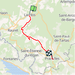

Length
15.5 km

Max alt
1240 m

Uphill gradient
353 m
Km-Effort
20 km

Min alt
986 m

Downhill gradient
312 m
Boucle
No
Creation date :
2019-06-01 06:35:59.011
Updated on :
2019-06-01 12:48:13.374
4h41
Difficulty : Easy

FREE GPS app for hiking
 SityTrail
IGN / Geographical institutes
SityTrail Plus
The world is yours!
About
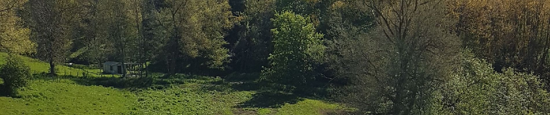
Trail Walking of 15.5 km to be discovered at Auvergne-Rhône-Alpes, Haute-Loire, Landos. This trail is proposed by BernardPONS.
Photos


Positioning
Country:
France
Region :
Auvergne-Rhône-Alpes
Department/Province :
Haute-Loire
Municipality :
Landos
Location:
Unknown
Start:(Dec)
Start:(UTM)
565590 ; 4965811 (31T) N.
Comments