


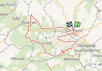
Songeons, Escames et Gerberoy

philberard95
User

Length
18.2 km

Max alt
201 m

Uphill gradient
393 m
Km-Effort
23 km

Min alt
111 m

Downhill gradient
393 m
Boucle
Yes
Creation date :
2019-06-03 07:47:33.426
Updated on :
2023-01-11 13:10:17.738
4h58
Difficulty : Very difficult

FREE GPS app for hiking
 SityTrail
IGN / Geographical institutes
SityTrail Plus
The world is yours!
About
Trail Walking of 18.2 km to be discovered at Hauts-de-France, Oise, Songeons. This trail is proposed by philberard95.
Positioning
Country:
France
Region :
Hauts-de-France
Department/Province :
Oise
Municipality :
Songeons
Location:
Unknown
Start:(Dec)
Start:(UTM)
417059 ; 5489163 (31U) N.
Comments