


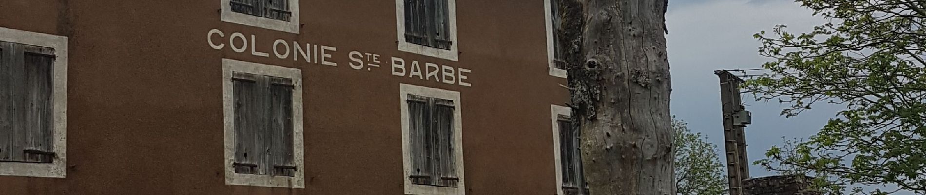
Stevenson etape 6: Cheylard l'évêque

BernardPONS
User
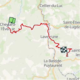

Length
23 km

Max alt
1249 m

Uphill gradient
667 m
Km-Effort
33 km

Min alt
969 m

Downhill gradient
709 m
Boucle
No
Creation date :
2019-06-03 06:34:14.886
Updated on :
2019-06-03 16:15:11.521
5h45
Difficulty : Medium

FREE GPS app for hiking
 SityTrail
IGN / Geographical institutes
SityTrail Plus
The world is yours!
About
Trail Walking of 23 km to be discovered at Occitania, Lozère, Cheylard-l'Évêque. This trail is proposed by BernardPONS.
Photos


Positioning
Country:
France
Region :
Occitania
Department/Province :
Lozère
Municipality :
Cheylard-l'Évêque
Location:
Unknown
Start:(Dec)
Start:(UTM)
563769 ; 4943920 (31T) N.
Comments