


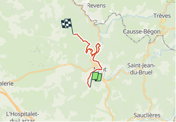
Carmat-Nant-Montredon

janussity
User

Length
16.1 km
Boucle
No
Creation date :
2019-06-05 07:01:14.768
Updated on :
2019-06-06 07:22:50.949
6h48
Difficulty : Medium

FREE GPS app for hiking
 SityTrail
IGN / Geographical institutes
SityTrail Plus
The world is yours!
About
Trail Walking of 16.1 km to be discovered at Occitania, Aveyron, Nant. This trail is proposed by janussity.
Description
Soleil et vent
montée sur le Causses Cuns 850m.
Pique-nique vers cabane bois homme solitaire.
Achat prod aromatique ferme des Homs. Pluie sur 3km vers gite de Montredon.
Photos


Positioning
Country:
France
Region :
Occitania
Department/Province :
Aveyron
Municipality :
Nant
Location:
Unknown
Start:(Dec)
Start:(UTM)
523062 ; 4872373 (31T) N.
Comments