


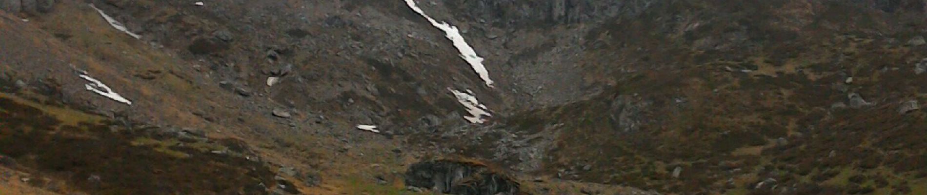
2019-06-09 Lac d'Arou

jacq58
User
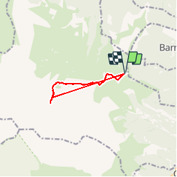

Length
8.2 km

Max alt
1933 m

Uphill gradient
506 m
Km-Effort
14.9 km

Min alt
1517 m

Downhill gradient
505 m
Boucle
Yes
Creation date :
2019-06-09 08:13:11.262
Updated on :
2019-06-09 14:58:41.563
3h03
Difficulty : Very easy

FREE GPS app for hiking
 SityTrail
IGN / Geographical institutes
SityTrail Plus
The world is yours!
About
Trail Walking of 8.2 km to be discovered at Occitania, Hautespyrenees, Ancizan. This trail is proposed by jacq58.
Photos

Positioning
Country:
France
Region :
Occitania
Department/Province :
Hautespyrenees
Municipality :
Ancizan
Location:
Unknown
Start:(Dec)
Start:(UTM)
279978 ; 4753265 (31T) N.
Comments