


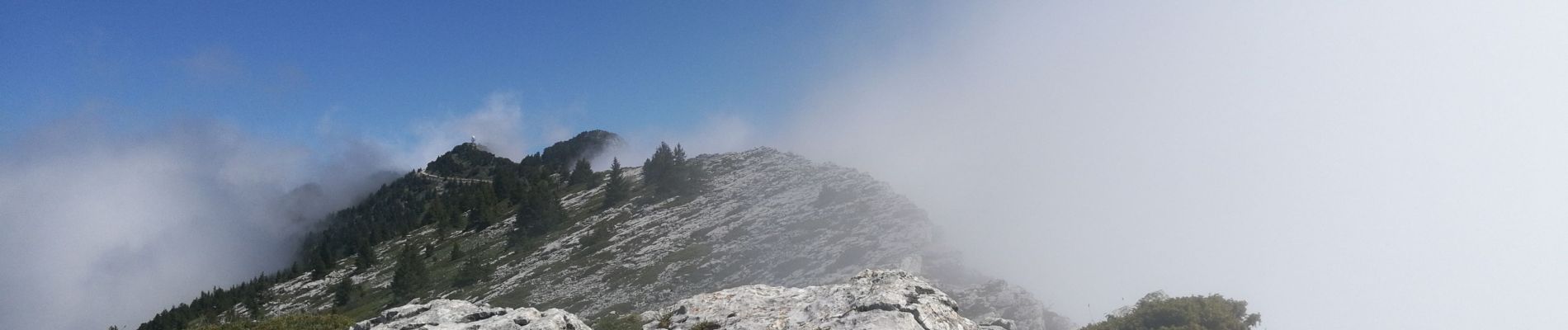
Lans en Vercors - Les Ramées - Trou St Michel

maupassant38
User
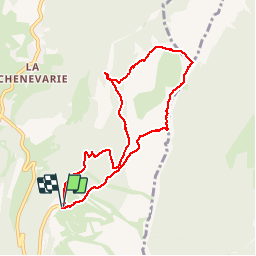

Length
8.3 km
Boucle
Yes
Creation date :
2019-06-12 08:40:26.592
Updated on :
2019-06-12 16:02:35.097
2h37
Difficulty : Medium

FREE GPS app for hiking
 SityTrail
IGN / Geographical institutes
SityTrail Plus
The world is yours!
About
Trail Walking of 8.3 km to be discovered at Auvergne-Rhône-Alpes, Isère, Lans-en-Vercors. This trail is proposed by maupassant38.
Photos


Positioning
Country:
France
Region :
Auvergne-Rhône-Alpes
Department/Province :
Isère
Municipality :
Lans-en-Vercors
Location:
Unknown
Start:(Dec)
Start:(UTM)
705280 ; 4999178 (31T) N.
Comments