


Lains - Montment

Bogapuki
User
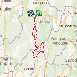

Length
10.5 km

Max alt
639 m

Uphill gradient
273 m
Km-Effort
14.1 km

Min alt
428 m

Downhill gradient
270 m
Boucle
Yes
Creation date :
2018-11-25 09:19:43.499
Updated on :
2018-11-25 09:19:43.499
3h09
Difficulty : Very easy

FREE GPS app for hiking
 SityTrail
IGN / Geographical institutes
SityTrail Plus
The world is yours!
About
Trail Walking of 10.5 km to be discovered at Bourgogne-Franche-Comté, Jura, Montlainsia. This trail is proposed by Bogapuki.
Description
Balade sans difficulté.
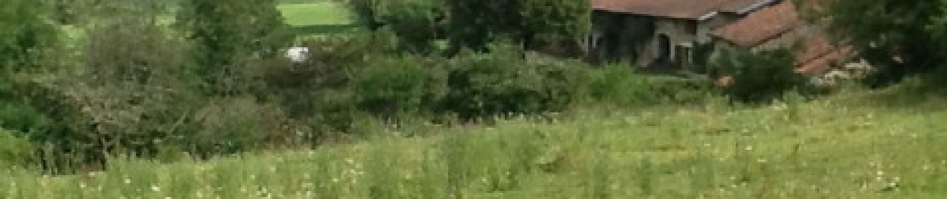
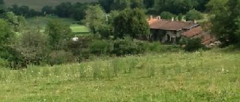
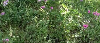
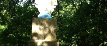
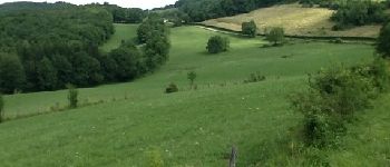
Photos


Positioning
Country:
France
Region :
Bourgogne-Franche-Comté
Department/Province :
Jura
Municipality :
Montlainsia
Location:
Unknown
Start:(Dec)
Start:(UTM)
691562 ; 5139967 (31T) N.
Comments