


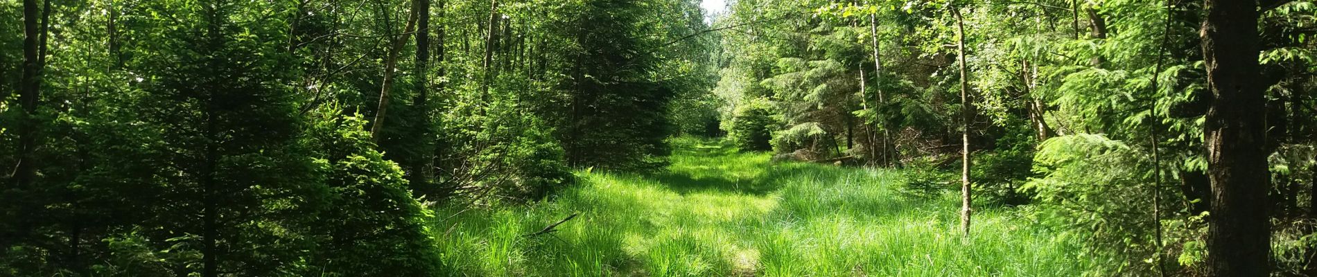
autour de Bronromme a travers campagne fagne et forêt

stef789
User GUIDE
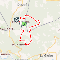

Length
10 km

Max alt
573 m

Uphill gradient
179 m
Km-Effort
12.4 km

Min alt
457 m

Downhill gradient
204 m
Boucle
No
Creation date :
2019-06-17 07:45:15.958
Updated on :
2019-06-17 09:50:53.609
2h04
Difficulty : Very easy

FREE GPS app for hiking
 SityTrail
IGN / Geographical institutes
SityTrail Plus
The world is yours!
About
Trail Walking of 10 km to be discovered at Wallonia, Liège, Theux. This trail is proposed by stef789.
Photos


Positioning
Country:
Belgium
Region :
Wallonia
Department/Province :
Liège
Municipality :
Theux
Location:
La Reid
Start:(Dec)
Start:(UTM)
699481 ; 5590863 (31U) N.
Comments
Bons chemins, secs fin 06/2023 (probablement assez boueux en période humide le long de la réserve), bois et clairières. 2 difficultés: le chemin le long de l'Eau Rouge (entre km 8.2 et 8.6) est interdit et barré (zone de quiétude); on a dû faire le tour par le col de la Vêquée, soit + 1.5km, mais avec belle vue sur le manoir de Lébioles au loin. D'autre part le gué sur le même ruisseau est très difficile à traverser sans bottes: il faut escalader des blocs de pierre.
cool