


Poigny la forêt

c.chehere
User
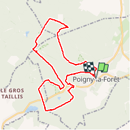

Length
18.9 km

Max alt
186 m

Uphill gradient
235 m
Km-Effort
22 km

Min alt
136 m

Downhill gradient
235 m
Boucle
Yes
Creation date :
2019-06-18 07:54:48.905
Updated on :
2019-06-18 17:17:29.799
5h13
Difficulty : Easy

FREE GPS app for hiking
 SityTrail
IGN / Geographical institutes
SityTrail Plus
The world is yours!
About
Trail Walking of 18.9 km to be discovered at Ile-de-France, Yvelines, Poigny-la-Forêt. This trail is proposed by c.chehere.
Description
Parking devant la mairie de Poigny.
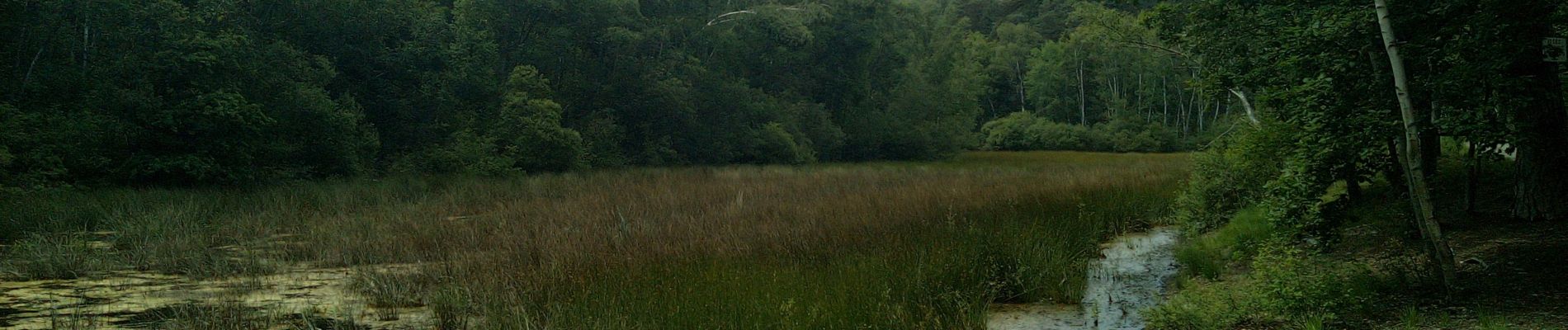
Bien belle rando sur de bons sentiers secs en cette saison.
Des faux airs de Fontainebleau
Photos


Positioning
Country:
France
Region :
Ile-de-France
Department/Province :
Yvelines
Municipality :
Poigny-la-Forêt
Location:
Unknown
Start:(Dec)
Start:(UTM)
408202 ; 5392197 (31U) N.
Comments