


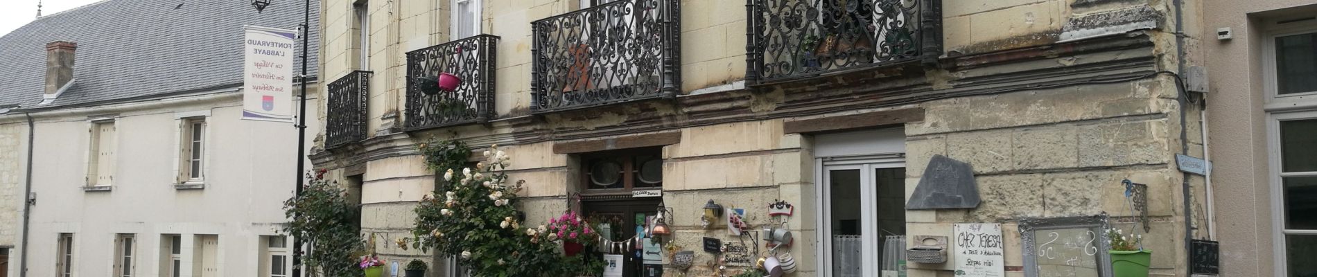
Autour de Fontevraud L'abbaye

maupassant38
User

Length
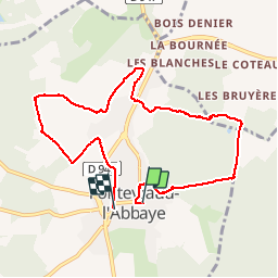
8.5 km

Max alt
112 m

Uphill gradient
141 m
Km-Effort
10.3 km

Min alt
43 m

Downhill gradient
133 m
Boucle
No
Creation date :
2019-06-19 07:47:00.683
Updated on :
2019-06-22 19:14:22.629
1h47
Difficulty : Easy

FREE GPS app for hiking
 SityTrail
IGN / Geographical institutes
SityTrail Plus
The world is yours!
About
Trail Walking of 8.5 km to be discovered at Pays de la Loire, Maine-et-Loire, Fontevraud-l'Abbaye. This trail is proposed by maupassant38.
Photos

Positioning
Country:
France
Region :
Pays de la Loire
Department/Province :
Maine-et-Loire
Municipality :
Fontevraud-l'Abbaye
Location:
Unknown
Start:(Dec)
Start:(UTM)
276570 ; 5229579 (31T) N.
Comments