


BOLOGNE-SAUCOURT

inesmyt
User

Length
24 km

Max alt
382 m

Uphill gradient
376 m
Km-Effort
29 km

Min alt
209 m

Downhill gradient
307 m
Boucle
No
Creation date :
2019-06-24 17:08:29.584
Updated on :
2022-07-31 20:30:23.254
1h56
Difficulty : Medium

FREE GPS app for hiking
 SityTrail
IGN / Geographical institutes
SityTrail Plus
The world is yours!
About
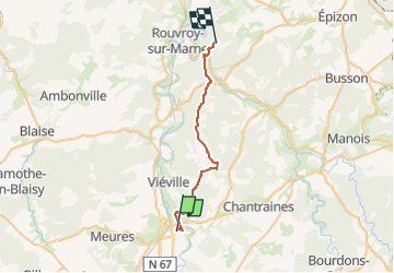
Trail Mountain bike of 24 km to be discovered at Grand Est, Haute-Marne, Bologne. This trail is proposed by inesmyt.
Positioning
Country:
France
Region :
Grand Est
Department/Province :
Haute-Marne
Municipality :
Bologne
Location:
Bologne
Start:(Dec)
Start:(UTM)
659441 ; 5340583 (31U) N.
Comments