


larodde

antoine57
User
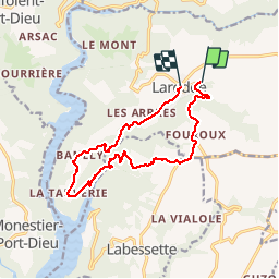

Length
13.6 km

Max alt
803 m

Uphill gradient
498 m
Km-Effort
20 km

Min alt
552 m

Downhill gradient
459 m
Boucle
No
Creation date :
2019-06-28 07:51:23.039
Updated on :
2019-06-28 12:31:40.198
4h30
Difficulty : Very easy

FREE GPS app for hiking
 SityTrail
IGN / Geographical institutes
SityTrail Plus
The world is yours!
About
Trail Walking of 13.6 km to be discovered at Auvergne-Rhône-Alpes, Puy-de-Dôme, Larodde. This trail is proposed by antoine57.
Description
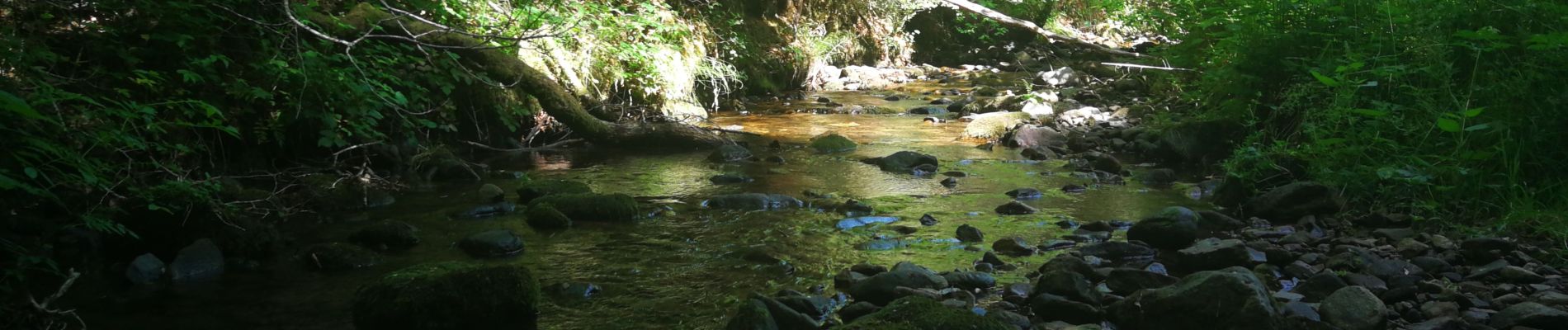
Trop de goudron.. J ai pris les chemins de traverse... Belle rando au fond du ravin attention sentier encombré
Photos


Positioning
Country:
France
Region :
Auvergne-Rhône-Alpes
Department/Province :
Puy-de-Dôme
Municipality :
Larodde
Location:
Unknown
Start:(Dec)
Start:(UTM)
465401 ; 5041555 (31T) N.
Comments