


20130716-Perriers sur andelle

doudet
User

Length
11.8 km

Max alt
167 m

Uphill gradient
256 m
Km-Effort
15.2 km

Min alt
50 m

Downhill gradient
258 m
Boucle
Yes
Creation date :
2019-07-02 17:01:09.061
Updated on :
2024-05-30 12:57:11.555
3h27
Difficulty : Difficult

FREE GPS app for hiking
 SityTrail
IGN / Geographical institutes
SityTrail Plus
The world is yours!
About
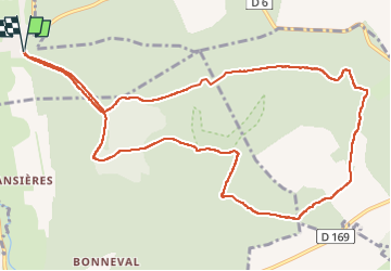
Trail Walking of 11.8 km to be discovered at Normandy, Eure, Perriers-sur-Andelle. This trail is proposed by doudet.
Positioning
Country:
France
Region :
Normandy
Department/Province :
Eure
Municipality :
Perriers-sur-Andelle
Location:
Unknown
Start:(Dec)
Start:(UTM)
382453 ; 5473882 (31U) N.
Comments