


Trégastel-Perros-Guirec : Vallée du Taouiero

MichelRando7656
User
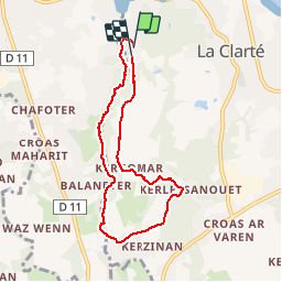

Length
6.6 km

Max alt
64 m

Uphill gradient
82 m
Km-Effort
7.7 km

Min alt
19 m

Downhill gradient
82 m
Boucle
Yes
Creation date :
2019-07-05 07:49:17.254
Updated on :
2019-07-05 10:39:01.721
2h49
Difficulty : Very easy

FREE GPS app for hiking
 SityTrail
IGN / Geographical institutes
SityTrail Plus
The world is yours!
About
Trail Walking of 6.6 km to be discovered at Brittany, Côtes-d'Armor, Perros-Guirec. This trail is proposed by MichelRando7656.
Description
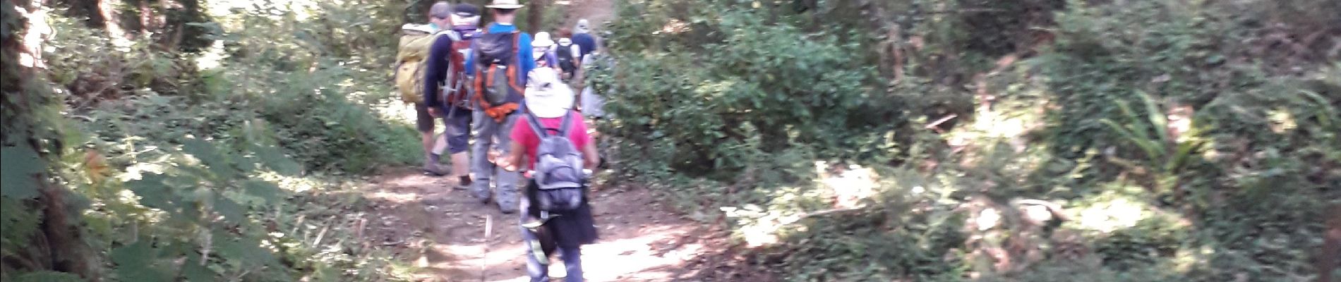
Beau circuit le long de la rivière.
Photos

Positioning
Country:
France
Region :
Brittany
Department/Province :
Côtes-d'Armor
Municipality :
Perros-Guirec
Location:
Unknown
Start:(Dec)
Start:(UTM)
464113 ; 5407405 (30U) N.
Comments