


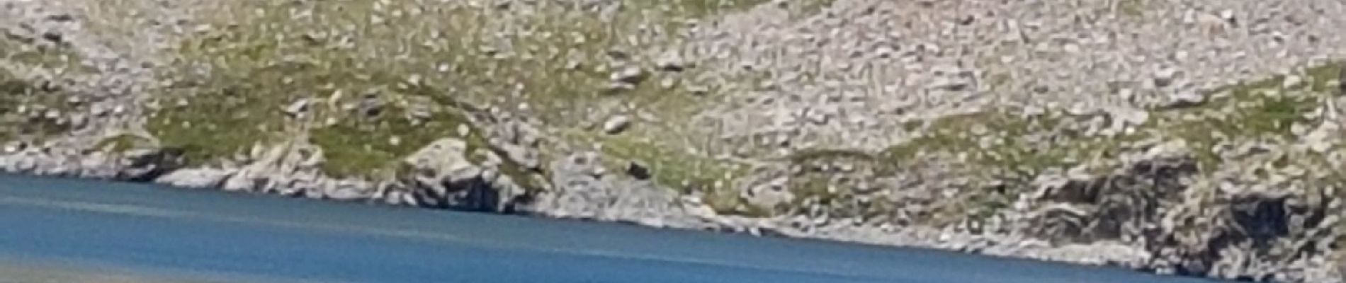
lac de l agnel

Mariephil
User
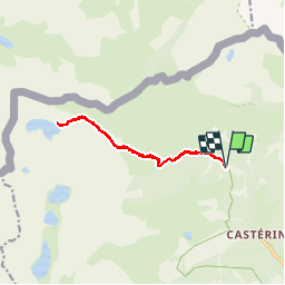

Length
12.3 km

Max alt
2438 m

Uphill gradient
781 m
Km-Effort
23 km

Min alt
1718 m

Downhill gradient
780 m
Boucle
Yes
Creation date :
2019-07-07 08:24:55.668
Updated on :
2019-07-08 05:09:12.223
6h14
Difficulty : Very easy

FREE GPS app for hiking
 SityTrail
IGN / Geographical institutes
SityTrail Plus
The world is yours!
About
Trail Walking of 12.3 km to be discovered at Provence-Alpes-Côte d'Azur, Maritime Alps, Tende. This trail is proposed by Mariephil.
Description
jolie rando moyenne
Photos


Positioning
Country:
France
Region :
Provence-Alpes-Côte d'Azur
Department/Province :
Maritime Alps
Municipality :
Tende
Location:
Unknown
Start:(Dec)
Start:(UTM)
379614 ; 4885550 (32T) N.
Comments