


Mont Corbier

Gegetop
User

Length
8.5 km
Boucle
Yes
Creation date :
2019-07-10 08:55:16.678
Updated on :
2019-07-11 07:27:24.562
4h18
Difficulty : Medium

FREE GPS app for hiking
 SityTrail
IGN / Geographical institutes
SityTrail Plus
The world is yours!
About
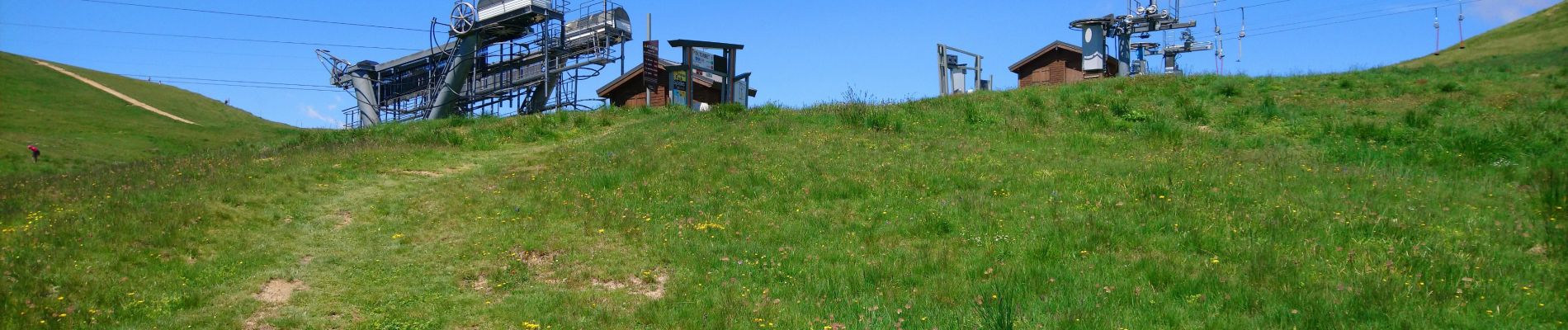
Trail Nordic walking of 8.5 km to be discovered at Auvergne-Rhône-Alpes, Savoy, Saint-Sorlin-d'Arves. This trail is proposed by Gegetop.
Photos


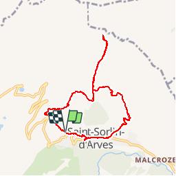
Positioning
Country:
France
Region :
Auvergne-Rhône-Alpes
Department/Province :
Savoy
Municipality :
Saint-Sorlin-d'Arves
Location:
Unknown
Start:(Dec)
Start:(UTM)
281866 ; 5011417 (32T) N.
Comments