


Gouyette 2 2013

fraxin
User

Length
66 km

Max alt
411 m

Uphill gradient
785 m
Km-Effort
77 km

Min alt
169 m

Downhill gradient
754 m
Boucle
No
Creation date :
2014-12-10 00:00:00.0
Updated on :
2014-12-10 00:00:00.0
1h10
Difficulty : Unknown

FREE GPS app for hiking
 SityTrail
IGN / Geographical institutes
SityTrail Plus
The world is yours!
About
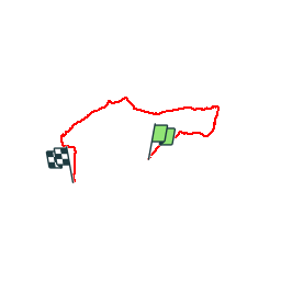
Trail Other activity of 66 km to be discovered at Grand Est, Meurthe-et-Moselle, Jaulny. This trail is proposed by fraxin.


Positioning
Country:
France
Region :
Grand Est
Department/Province :
Meurthe-et-Moselle
Municipality :
Jaulny
Location:
Unknown
Start:(Dec)
Start:(UTM)
711120 ; 5428216 (31U) N.
Comments