


Giverny : les coteaux vers le Vexin 13 km

MichelRando7656
User
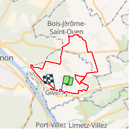

Length
14.7 km

Max alt
144 m

Uphill gradient
228 m
Km-Effort
17.8 km

Min alt
18 m

Downhill gradient
224 m
Boucle
No
Creation date :
2019-07-14 11:44:53.381
Updated on :
2019-07-14 16:37:13.737
4h51
Difficulty : Very easy

FREE GPS app for hiking
 SityTrail
IGN / Geographical institutes
SityTrail Plus
The world is yours!
About
Trail Walking of 14.7 km to be discovered at Normandy, Eure, Giverny. This trail is proposed by MichelRando7656.
Description
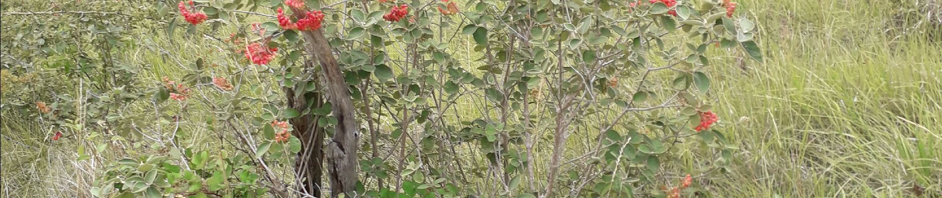
Superbes vues en seurplomb de Giverny.
Beaux chemins à travers champs de blés et de betteraves.
Photos


Positioning
Country:
France
Region :
Normandy
Department/Province :
Eure
Municipality :
Giverny
Location:
Unknown
Start:(Dec)
Start:(UTM)
392663 ; 5436972 (31U) N.
Comments