


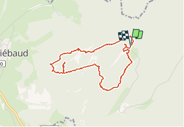

16.8 km | 25 km-effort


User


FREE GPS app for hiking
 SityTrail
IGN / Geographical institutes
SityTrail World
The world is yours!
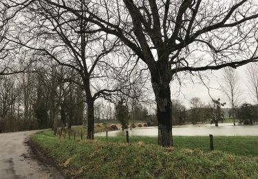
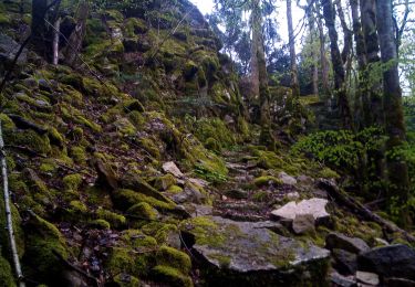
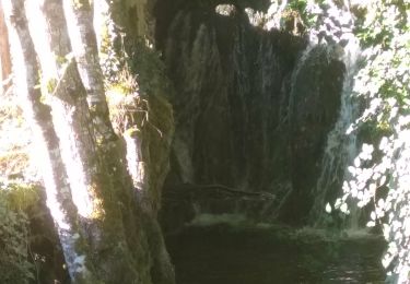
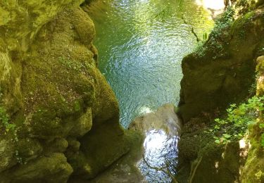
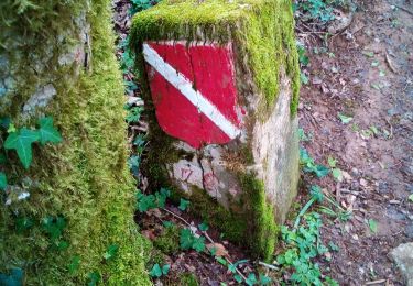
Trail Walking of 4.5 km to be discovered at Bourgogne-Franche-Comté, Jura, Saint-Thiébaud. This trail is proposed by matb.
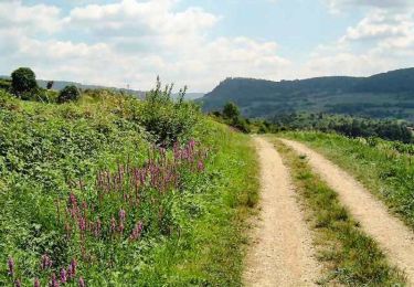
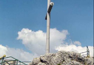
Sympathique petite ballade où l'on passe par les sites d'envol de parapentes et la forêt.
Walking
Walking
Walking
On foot
Walking
Walking
Walking
On foot
Walking