


randonnée

Arnaud Dejean
User

Length
16 km

Max alt
1963 m

Uphill gradient
632 m
Km-Effort
24 km

Min alt
1420 m

Downhill gradient
635 m
Boucle
Yes
Creation date :
2019-07-26 05:49:50.567
Updated on :
2019-07-26 11:57:21.485
5h51
Difficulty : Very easy

FREE GPS app for hiking
 SityTrail
IGN / Geographical institutes
SityTrail Plus
The world is yours!
About
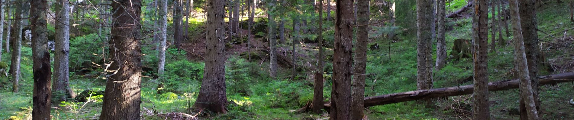
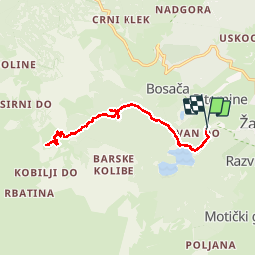
Trail Walking of 16 km to be discovered at Unknown, Žabljak Municipality. This trail is proposed by Arnaud Dejean.
Photos


Positioning
Country:
Montenegro
Region :
Unknown
Department/Province :
Žabljak Municipality
Municipality :
Unknown
Location:
Unknown
Start:(Dec)
Start:(UTM)
345580 ; 4779599 (34T) N.
Comments