


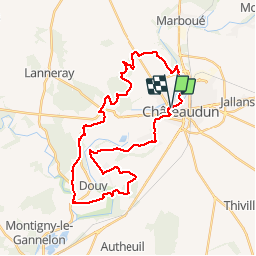
Le moulin de Courgain - Châteaudin

tracegps
User


1h49
Difficulty : Difficult

FREE GPS app for hiking
 SityTrail
IGN / Geographical institutes
SityTrail Plus
The world is yours!
About
Trail Mountain bike of 33 km to be discovered at Centre-Loire Valley, Eure-et-Loir, Châteaudun. This trail is proposed by tracegps.
Description
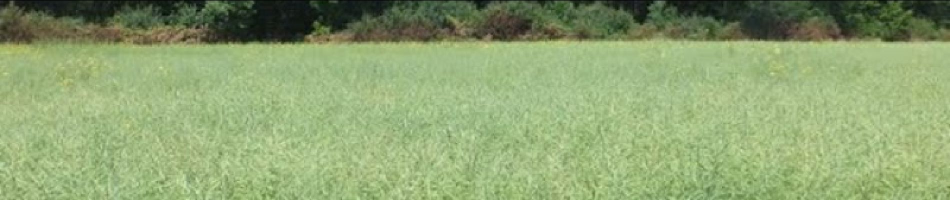
Circuit VTT intéressant, vallonné, comportant plusieurs types de terrains. Par contre, de gros problèmes de balisages, mieux vaut avoir le circuit sur GPS que le dépliant de l'office de tourisme de l'Eure et Loir qui comporte des erreurs.
Photos


Positioning
Comments