


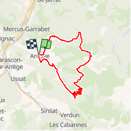

10.5 km | 20 km-effort

User


FREE GPS app for hiking
 SityTrail
IGN / Geographical institutes
SityTrail World
The world is yours!
Trail Mountain bike of 31 km to be discovered at Occitania, Ariège, Arnave. This trail is proposed by tracegps.
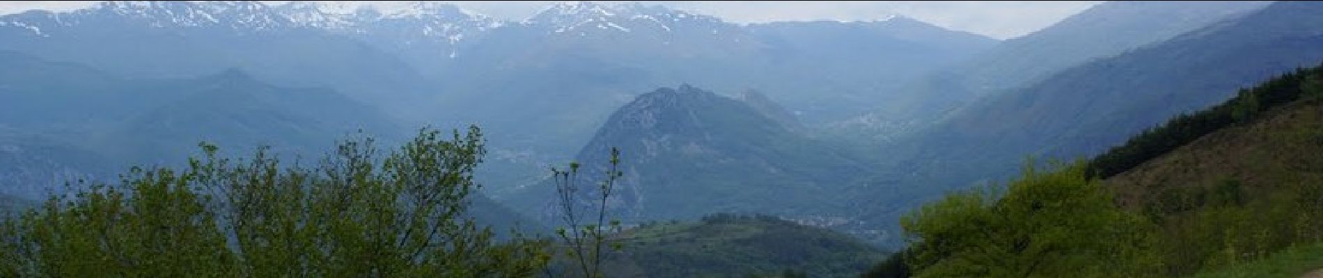
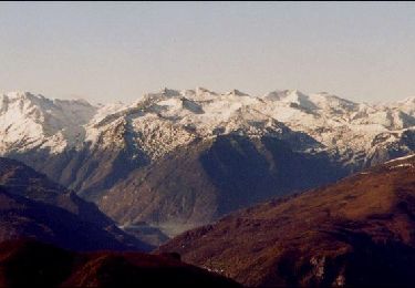
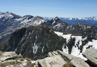
Encore une très belle boucle proposée par Jean-Michel C. Montées en route puis piste pas très roulante dans les 10 lacets, meilleure ensuite, avant 400 m de poussage dans les sentes puis les bruyères et les rhodos... La fin après le col d'Aigue Torte se mérite aussi. Mais la vue, quelle vue !! et la descente, 1400 m presque tout en single (sauf la piste au N/O de la Lauzate, très roulante)!! A refaire depuis le Traucadou, (300 m roulé et 500 m poussé? pour ces 1400 m ou plus, de descente ; avec navette ou chauffeur)


Walking

Running
Walking
Walking
Walking
On foot
Walking
Walking