


20190728

fredodlageo
User
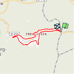

Length
6.1 km

Max alt
383 m

Uphill gradient
171 m
Km-Effort
8.4 km

Min alt
295 m

Downhill gradient
170 m
Boucle
Yes
Creation date :
2019-07-28 15:28:00.0
Updated on :
2019-07-28 17:02:14.948
1h33
Difficulty : Unknown

FREE GPS app for hiking
 SityTrail
IGN / Geographical institutes
SityTrail Plus
The world is yours!
About
Trail Walking of 6.1 km to be discovered at Grand Est, Bas-Rhin, Wangenbourg-Engenthal. This trail is proposed by fredodlageo.
Description
Rando château gugus izzie
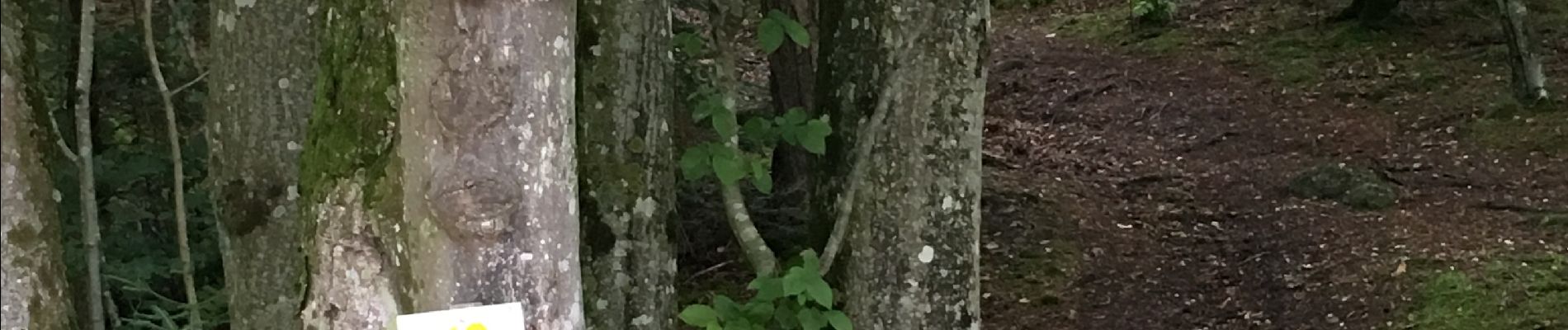
Photos


Positioning
Country:
France
Region :
Grand Est
Department/Province :
Bas-Rhin
Municipality :
Wangenbourg-Engenthal
Location:
Unknown
Start:(Dec)
Start:(UTM)
378427 ; 5387717 (32U) N.
Comments