


Cotignac 2013

SERGIO110_1
User

Length
806 km

Max alt
3146 m

Uphill gradient
45093 m
Km-Effort
1408 km

Min alt
159 m

Downhill gradient
45088 m
Boucle
No
Creation date :
2014-12-10 00:00:00.0
Updated on :
2014-12-10 00:00:00.0
--
Difficulty : Easy

FREE GPS app for hiking
 SityTrail
IGN / Geographical institutes
SityTrail Plus
The world is yours!
About
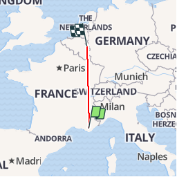
Trail Running of 806 km to be discovered at Provence-Alpes-Côte d'Azur, Var, Cotignac. This trail is proposed by SERGIO110_1.
Positioning
Country:
France
Region :
Provence-Alpes-Côte d'Azur
Department/Province :
Var
Municipality :
Cotignac
Location:
Unknown
Start:(Dec)
Start:(UTM)
269637 ; 4823320 (32T) N.
Comments