


130802

randodan
User
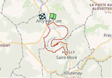

Length
14.8 km

Max alt
243 m

Uphill gradient
325 m
Km-Effort
19.1 km

Min alt
120 m

Downhill gradient
316 m
Boucle
Yes
Creation date :
2014-12-10 00:00:00.0
Updated on :
2014-12-10 00:00:00.0
4h39
Difficulty : Unknown

FREE GPS app for hiking
 SityTrail
IGN / Geographical institutes
SityTrail Plus
The world is yours!
About
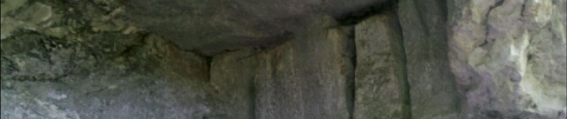
Trail Walking of 14.8 km to be discovered at Bourgogne-Franche-Comté, Yonne, Arcy-sur-Cure. This trail is proposed by randodan.
Photos


Positioning
Country:
France
Region :
Bourgogne-Franche-Comté
Department/Province :
Yonne
Municipality :
Arcy-sur-Cure
Location:
Unknown
Start:(Dec)
Start:(UTM)
557004 ; 5272288 (31T) N.
Comments
A ne pas faire quand il fait très chaud ou alors penser a prendre 4 grande bouteille PAR PERSONNE sinon ??