


cret du poulet 2019

goizet
User
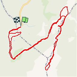

Length
9.4 km

Max alt
1775 m

Uphill gradient
354 m
Km-Effort
14.2 km

Min alt
1429 m

Downhill gradient
353 m
Boucle
Yes
Creation date :
2019-07-30 08:30:00.107
Updated on :
2019-07-30 13:31:01.599
4h04
Difficulty : Easy

FREE GPS app for hiking
 SityTrail
IGN / Geographical institutes
SityTrail Plus
The world is yours!
About
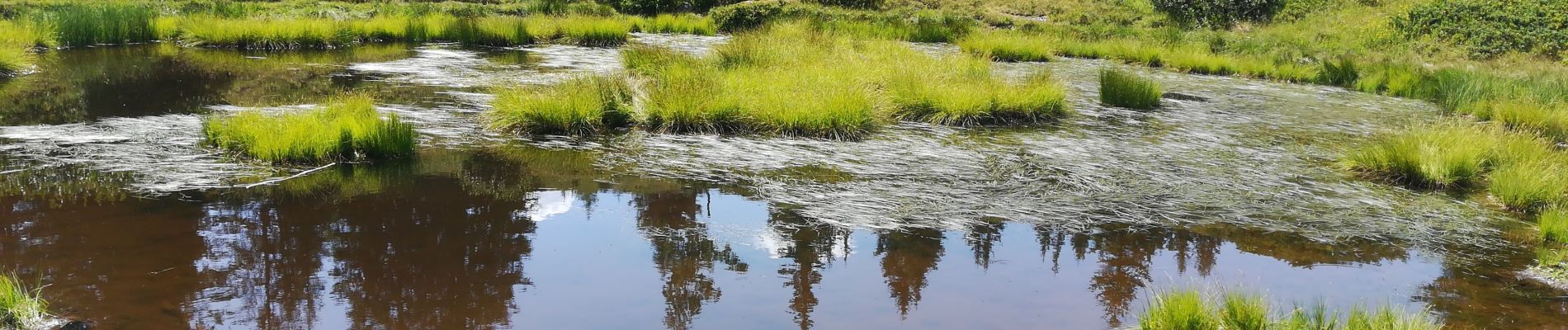
Trail Walking of 9.4 km to be discovered at Auvergne-Rhône-Alpes, Isère, Crêts-en-Belledonne. This trail is proposed by goizet.
Photos


Positioning
Country:
France
Region :
Auvergne-Rhône-Alpes
Department/Province :
Isère
Municipality :
Crêts-en-Belledonne
Location:
Saint-Pierre-d'Allevard
Start:(Dec)
Start:(UTM)
268581 ; 5023263 (32T) N.
Comments