


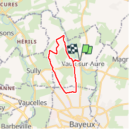


9.3 km | 11 km-effort


User


FREE GPS app for hiking
 SityTrail
IGN / Geographical institutes
SityTrail World
The world is yours!
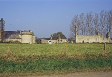
Trail of 8.3 km to be discovered at Normandy, Calvados, Vaux-sur-Aure. This trail is proposed by aubinjoel.
Aux portes de Bayeux, depuis le village de Vaux-sur-Aure, cheminez dans la vallée de l'Aure à la rencontre de la légende de la fée d'Argouges et du manoir d'Argouges.

Walking
Walking
Mountain bike
Walking
Walking
Walking
Walking
Walking

Bicycle tourism