


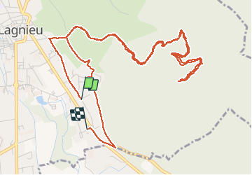

8.6 km | 11.7 km-effort


User


FREE GPS app for hiking
 SityTrail
IGN / Geographical institutes
SityTrail World
The world is yours!
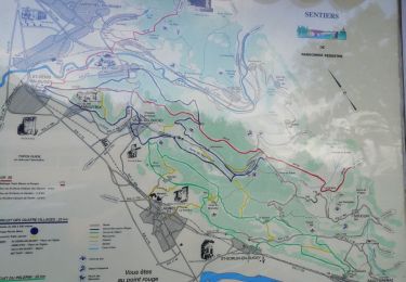
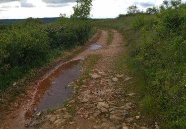
Trail Walking of 7.9 km to be discovered at Auvergne-Rhône-Alpes, Ain, Lagnieu. This trail is proposed by joebartwix.
Walking

Walking
Walking
Walking
Walking
Walking
Walking
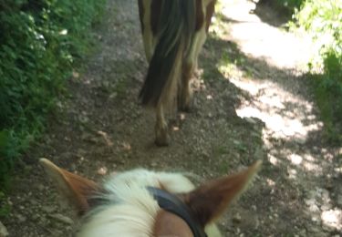
Horseback riding
Walking
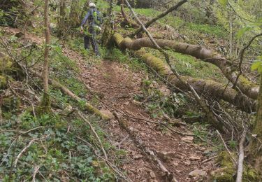
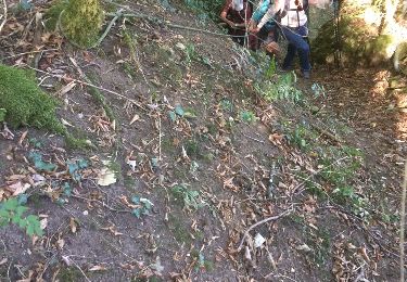
erreur d'enregistrement, passage difficile