


chapelle st meen par gr

benoitrando
User
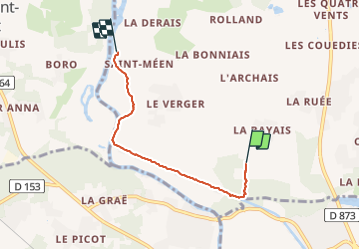

Length
3.9 km

Max alt
43 m

Uphill gradient
29 m
Km-Effort
4.4 km

Min alt
1 m

Downhill gradient
54 m
Boucle
No
Creation date :
2019-08-02 14:56:29.307
Updated on :
2019-08-02 15:45:33.932
48m
Difficulty : Very easy

FREE GPS app for hiking
 SityTrail
IGN / Geographical institutes
SityTrail Plus
The world is yours!
About
Trail Walking of 3.9 km to be discovered at Brittany, Ille-et-Vilaine, Bains-sur-Oust. This trail is proposed by benoitrando.
Positioning
Country:
France
Region :
Brittany
Department/Province :
Ille-et-Vilaine
Municipality :
Bains-sur-Oust
Location:
Unknown
Start:(Dec)
Start:(UTM)
567611 ; 5281440 (30T) N.
Comments