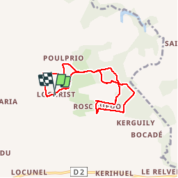
Inguiniel - La chapelle de Lochrist

MichelRando7656
User

Length
6.6 km

Max alt
173 m

Uphill gradient
81 m
Km-Effort
7.7 km

Min alt
143 m

Downhill gradient
80 m
Boucle
Yes
Creation date :
2019-08-03 12:22:05.451
Updated on :
2019-08-03 14:57:29.185
2h34
Difficulty : Very easy

FREE GPS app for hiking
 SityTrail
IGN / Geographical institutes
SityTrail Plus
The world is yours!
About
Trail Walking of 6.6 km to be discovered at Brittany, Morbihan, Inguiniel. This trail is proposed by MichelRando7656.
Description
Randonnée du Pays Pourleth.
Chemins à travers la campagne et les sous-bois.
Très peu de route.
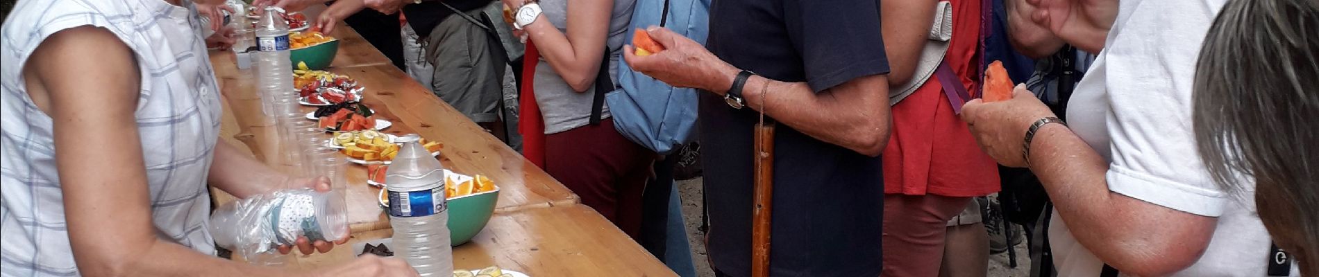
Accueil très sympathique
Photos


Positioning
Country:
France
Region :
Brittany
Department/Province :
Morbihan
Municipality :
Inguiniel
Location:
Unknown
Start:(Dec)
Start:(UTM)
482001 ; 5312294 (30T) N.
Comments