


St Cyr du Ronceray

Eve - Line
User
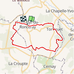

Length
14.8 km

Max alt
184 m

Uphill gradient
176 m
Km-Effort
17.1 km

Min alt
96 m

Downhill gradient
175 m
Boucle
Yes
Creation date :
2019-08-04 05:41:06.051
Updated on :
2019-08-04 08:45:12.654
3h02
Difficulty : Easy

FREE GPS app for hiking
 SityTrail
IGN / Geographical institutes
SityTrail Plus
The world is yours!
About
Trail Walking of 14.8 km to be discovered at Normandy, Calvados, Valorbiquet. This trail is proposed by Eve - Line.
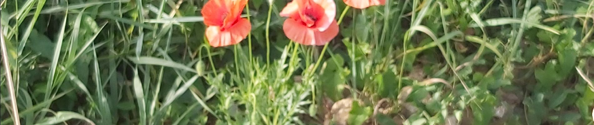
Photos


Positioning
Country:
France
Region :
Normandy
Department/Province :
Calvados
Municipality :
Valorbiquet
Location:
Saint-Cyr-du-Ronceray
Start:(Dec)
Start:(UTM)
302646 ; 5436892 (31U) N.
Comments