


arpy . lac d arpy . arpy 2h50

stef789
User GUIDE
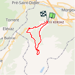

Length
10.3 km

Max alt
2080 m

Uphill gradient
438 m
Km-Effort
16.1 km

Min alt
1680 m

Downhill gradient
416 m
Boucle
Yes
Creation date :
2019-08-04 11:08:58.538
Updated on :
2019-08-04 14:47:33.458
3h36
Difficulty : Very easy

FREE GPS app for hiking
 SityTrail
IGN / Geographical institutes
SityTrail Plus
The world is yours!
About
Trail Walking of 10.3 km to be discovered at Aosta Valley, Unknown, Morgex. This trail is proposed by stef789.
Description
allé via le torrent et retour trop d asphalte
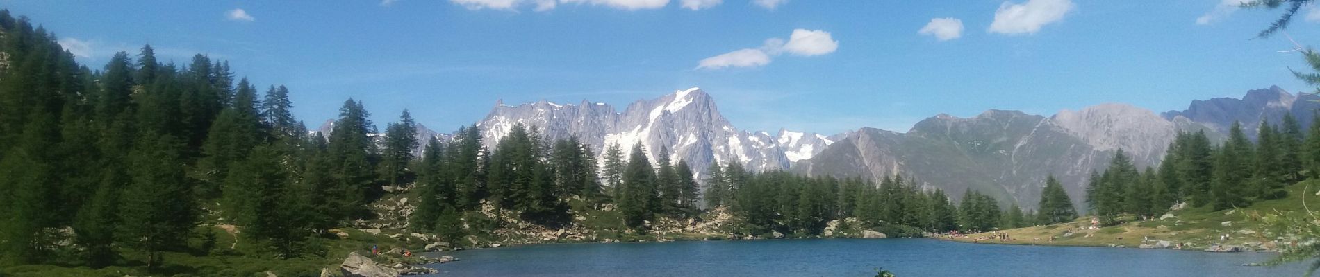
Photos


Positioning
Country:
Italy
Region :
Aosta Valley
Department/Province :
Unknown
Municipality :
Morgex
Location:
Unknown
Start:(Dec)
Start:(UTM)
345336 ; 5067955 (32T) N.
Comments