


St Cyr du Ronceray - Fervaques - Cheffreville

Eve - Line
User
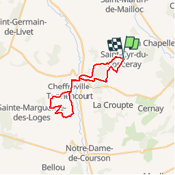

Length
21 km

Max alt
186 m

Uphill gradient
287 m
Km-Effort
25 km

Min alt
82 m

Downhill gradient
288 m
Boucle
Yes
Creation date :
2019-08-05 05:13:27.302
Updated on :
2019-08-05 09:35:15.659
4h20
Difficulty : Medium

FREE GPS app for hiking
 SityTrail
IGN / Geographical institutes
SityTrail Plus
The world is yours!
About
Trail Walking of 21 km to be discovered at Normandy, Calvados, Valorbiquet. This trail is proposed by Eve - Line.
Description
Départ Place des Canadiens St Cyr du Ronceray. Vous pouvez partir du parking de l'église de Cheffreville, suivre le balisage de randonnée bleu pour une boucle de 8 km environ. Bonne ballade.
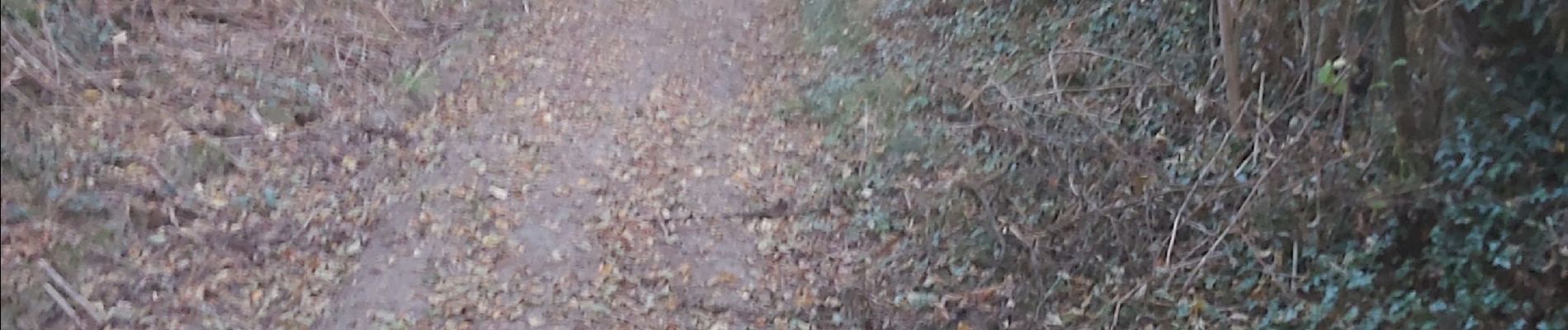
Photos


Positioning
Country:
France
Region :
Normandy
Department/Province :
Calvados
Municipality :
Valorbiquet
Location:
Saint-Cyr-du-Ronceray
Start:(Dec)
Start:(UTM)
302497 ; 5436974 (31U) N.
Comments