


Le Villaret La combe noire

Sigmut
User
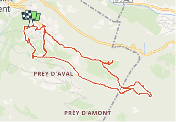

Length
7.1 km

Max alt
1473 m

Uphill gradient
182 m
Km-Effort
9.5 km

Min alt
1376 m

Downhill gradient
186 m
Boucle
Yes
Creation date :
2019-08-05 08:52:48.646
Updated on :
2020-11-17 21:03:39.993
3h08
Difficulty : Very easy

FREE GPS app for hiking
 SityTrail
IGN / Geographical institutes
SityTrail Plus
The world is yours!
About
Trail Walking of 7.1 km to be discovered at Provence-Alpes-Côte d'Azur, Hautes-Alpes, Puy-Saint-Vincent. This trail is proposed by Sigmut.
Description
Randonnée avec des enfants (2 ans dans sac à dos et 4 ans).
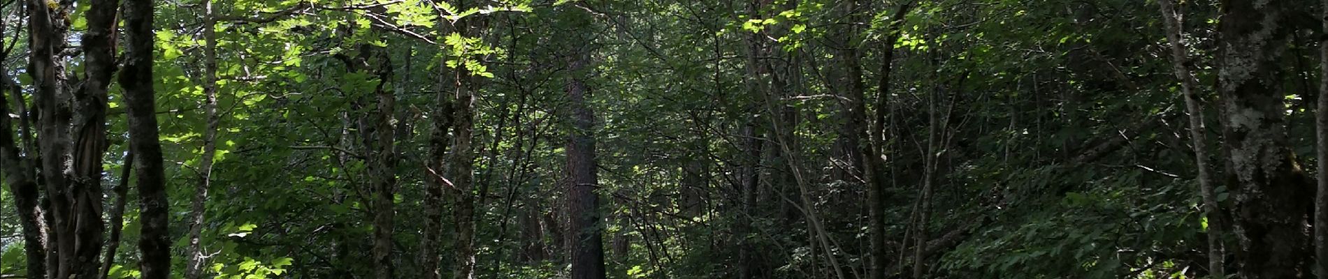
Photos


Positioning
Country:
France
Region :
Provence-Alpes-Côte d'Azur
Department/Province :
Hautes-Alpes
Municipality :
Puy-Saint-Vincent
Location:
Unknown
Start:(Dec)
Start:(UTM)
302243 ; 4966554 (32T) N.
Comments