Trail Walking Combiers - Rando de Combiers à Larochebeaucourt par chez Maurice - Photo

Rando de Combiers à Larochebeaucourt par chez Maurice

© OpenStreetMap contributors
Length
Length
10.2 km
Max alt
Max alt
174 m
Uphill gradient
Uphill gradient
152 m
Km-Effort
Km-Effort  
12.2 km
Min alt
Min alt
92 m
Downhill gradient
Downhill gradient
152 m
Boucle
Boucle
Yes
Creation date :
2019-08-08 07:06:03.293
Updated on :
2019-08-25 07:34:01.442

(0 Reviews)

Walking
Walking
3h23
Difficulty : Medium

Scan this QR Code to open this trail in the SityTrail application

FREE GPS app for hiking

Logo SityTrail SityTrail

IGN / Geographical institutes

Download SityTrail from the App Store Download SityTrail from Google Play

Logo SityTrail SityTrail Plus

The world is yours!

Download SityTrail from the App Store Download SityTrail from Google Play Download SityTrail on Huawei AppGallery

About

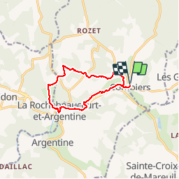
Trail Walking of 10.2 km to be discovered at New Aquitaine, Charente, Combiers. This trail is proposed by alainjoseph6.

Description

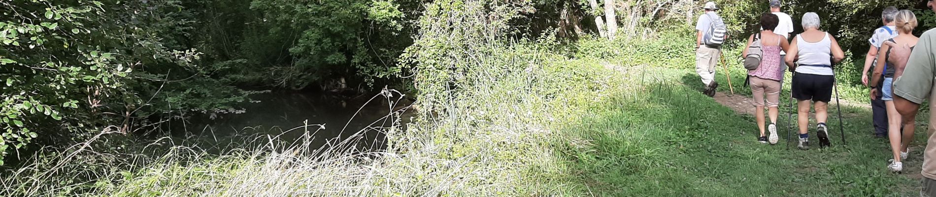
Cette magnifique randonnée vous fera découvrir la vallée de la Nizonne et son sentier pédagogique puis le village de Larochebeaucourt avec un passage  par le parc de la Faisanderie et chez Maurice puis gravechou, les Monneries et retour à Combiers par le sentier du marais.

Elevation profile

Photos

Positioning

Country:
France
Region :
New Aquitaine
Department/Province :
Charente
Municipality :
Combiers
Location:
Unknown
Start:(UTM)
297985 ; 5040941 (31T) N.


Close
My subscriptions