


Châtelneuf 7 août 2019 CAF

TRIMAILLE
User
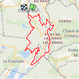

Length
20 km

Max alt
900 m

Uphill gradient
624 m
Km-Effort
29 km

Min alt
712 m

Downhill gradient
626 m
Boucle
Yes
Creation date :
2019-08-07 19:12:00.065
Updated on :
2019-11-27 22:17:01.369
25h06
Difficulty : Difficult

FREE GPS app for hiking
 SityTrail
IGN / Geographical institutes
SityTrail Plus
The world is yours!
About
Trail Walking of 20 km to be discovered at Bourgogne-Franche-Comté, Jura, Châtelneuf. This trail is proposed by TRIMAILLE.
Description
Départ du parking du cimetiçre de Chatelneuf.
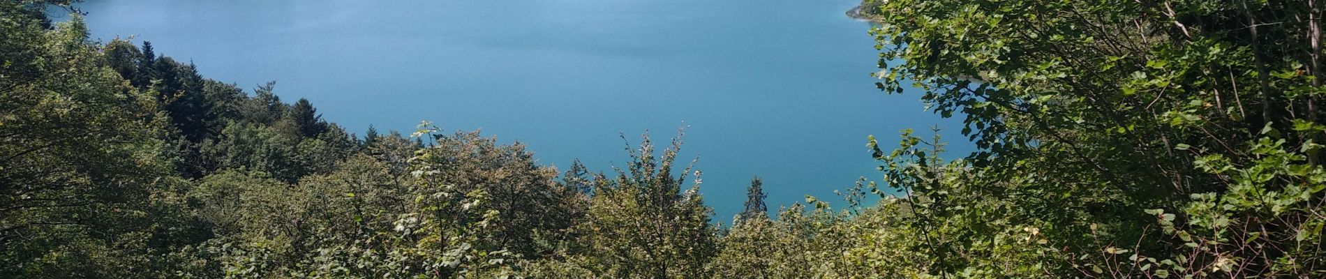
Photos


Positioning
Country:
France
Region :
Bourgogne-Franche-Comté
Department/Province :
Jura
Municipality :
Châtelneuf
Location:
Unknown
Start:(Dec)
Start:(UTM)
723041 ; 5172966 (31T) N.
Comments