


vieuxville

dhouet
User
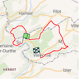

Length
12.9 km

Max alt
283 m

Uphill gradient
281 m
Km-Effort
16.8 km

Min alt
117 m

Downhill gradient
323 m
Boucle
No
Creation date :
2019-08-11 09:27:54.685
Updated on :
2019-08-11 13:33:16.816
3h55
Difficulty : Very easy

FREE GPS app for hiking
 SityTrail
IGN / Geographical institutes
SityTrail Plus
The world is yours!
About
Trail Walking of 12.9 km to be discovered at Wallonia, Liège, Ferrières. This trail is proposed by dhouet.
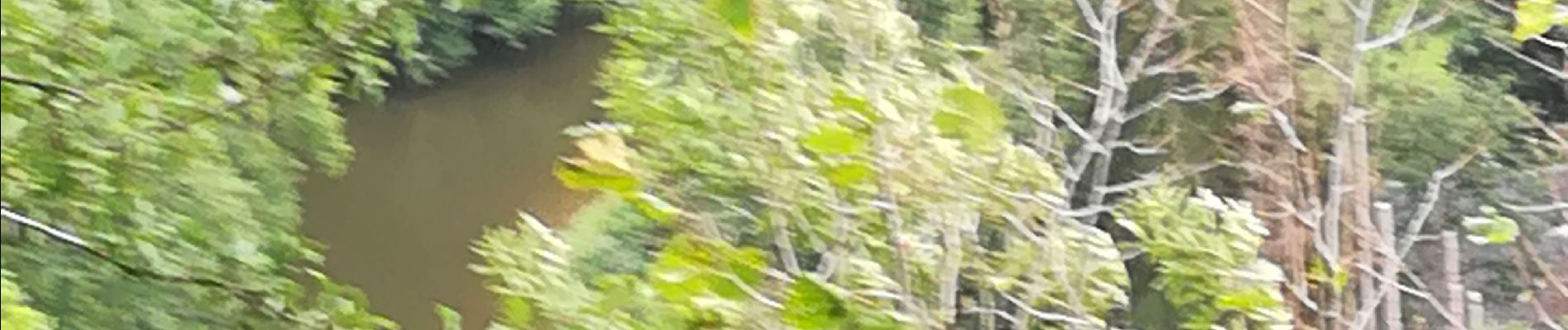
Photos


Positioning
Country:
Belgium
Region :
Wallonia
Department/Province :
Liège
Municipality :
Ferrières
Location:
Vieuxville
Start:(Dec)
Start:(UTM)
679729 ; 5586619 (31U) N.
Comments