


testt

stef789
User GUIDE

Length
24 km

Max alt
1700 m

Uphill gradient
497 m
Km-Effort
32 km

Min alt
775 m

Downhill gradient
967 m
Boucle
No
Creation date :
2019-08-11 10:42:52.026
Updated on :
2019-08-11 18:22:47.524
3h35
Difficulty : Very easy

FREE GPS app for hiking
 SityTrail
IGN / Geographical institutes
SityTrail Plus
The world is yours!
About
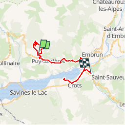
Trail Walking of 24 km to be discovered at Provence-Alpes-Côte d'Azur, Hautes-Alpes, Puy-Saint-Eusèbe. This trail is proposed by stef789.
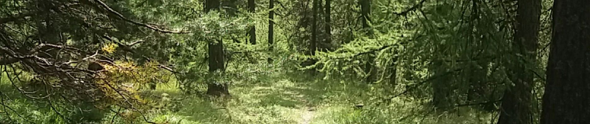
Photos


Positioning
Country:
France
Region :
Provence-Alpes-Côte d'Azur
Department/Province :
Hautes-Alpes
Municipality :
Puy-Saint-Eusèbe
Location:
Unknown
Start:(Dec)
Start:(UTM)
295090 ; 4937689 (32T) N.
Comments