


20190814 - Lac Saint André

Jfumomo
User
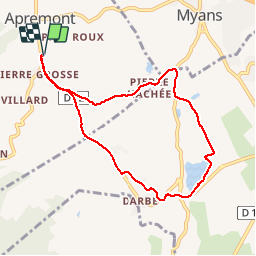

Length
7.9 km

Max alt
394 m

Uphill gradient
119 m
Km-Effort
9.5 km

Min alt
299 m

Downhill gradient
119 m
Boucle
Yes
Creation date :
2019-08-14 06:36:46.24
Updated on :
2019-08-14 08:55:00.813
1h36
Difficulty : Easy

FREE GPS app for hiking
 SityTrail
IGN / Geographical institutes
SityTrail Plus
The world is yours!
About
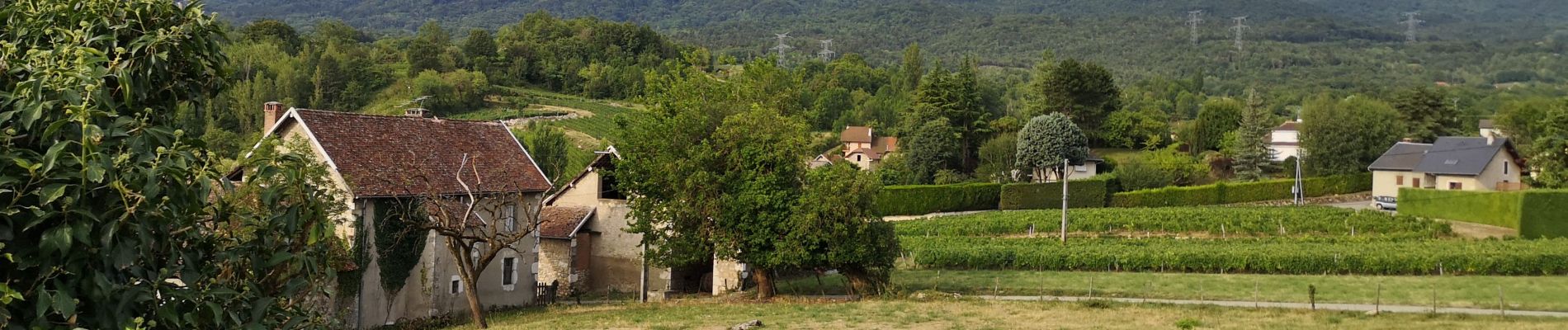
Trail Walking of 7.9 km to be discovered at Auvergne-Rhône-Alpes, Savoy, Apremont. This trail is proposed by Jfumomo.
Description
La Ratte, L'école de Saint André, Lac Saint André, Pierre Hâchée
Photos


Positioning
Country:
France
Region :
Auvergne-Rhône-Alpes
Department/Province :
Savoy
Municipality :
Apremont
Location:
Unknown
Start:(Dec)
Start:(UTM)
731245 ; 5043720 (31T) N.
Comments