


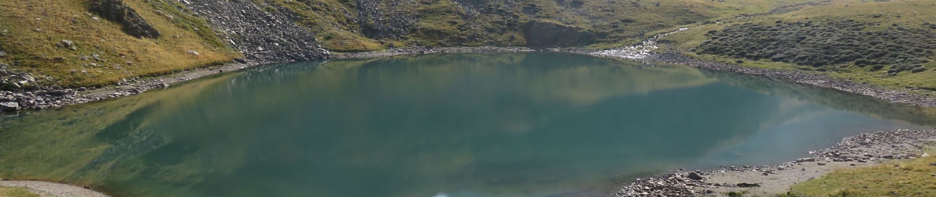
2019-08-24_16h38m32_mont-giraud-rimplas

aris
User
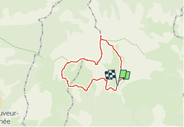


5h06
Difficulty : Medium

FREE GPS app for hiking
 SityTrail
IGN / Geographical institutes
SityTrail Plus
The world is yours!
About
Trail Walking of 13.1 km to be discovered at Provence-Alpes-Côte d'Azur, Maritime Alps, Valdeblore. This trail is proposed by aris.
Description
Quelques passages un peu aériens sur la crête. Une partie hors-sentier le long de la rivière dans la descente, avant de rejoindre le chemin vers la vacherie des Millefonts.
Une bien jolie boucle.
Photos


Positioning
Comments