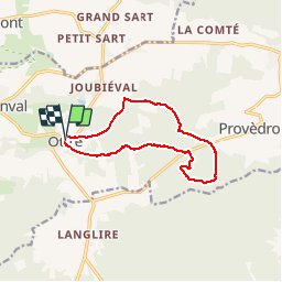
Trail Walking Vielsalm - ottré - Photo
 gue
gue

User

© OpenStreetMap contributors
Length
Length
10.2 km
Max alt
Max alt
567 m
Uphill gradient
Uphill gradient
211 m
Km-Effort
Km-Effort  
13 km
Min alt
Min alt
491 m
Downhill gradient
Downhill gradient
206 m
Boucle
Boucle
Yes
Creation date :
2014-12-10 00:00:00.0
Updated on :
2014-12-10 00:00:00.0

(1 Reviews)

Walking
Walking
1h41
Difficulty : Easy

Scan this QR Code to open this trail in the SityTrail application

FREE GPS app for hiking

Logo SityTrail SityTrail

IGN / Geographical institutes

Download SityTrail from the App Store Download SityTrail from Google Play

Logo SityTrail SityTrail Plus

The world is yours!

Download SityTrail from the App Store Download SityTrail from Google Play Download SityTrail on Huawei AppGallery

About

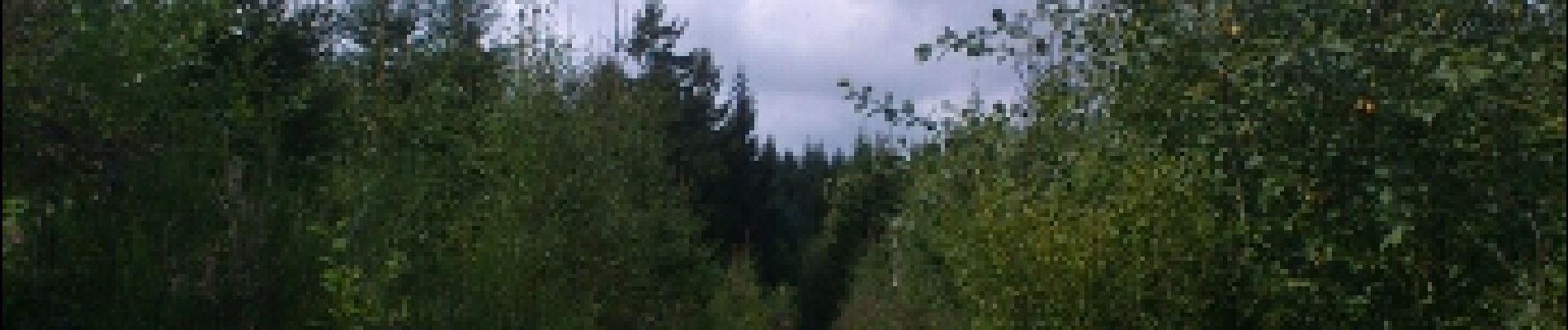
Trail Walking of 10.2 km to be discovered at Wallonia, Luxembourg, Vielsalm. This trail is proposed by gue.

Description

adeps

Elevation profile

Photos

Points of interest

Point of interest Vielsalm - Point 2 - Photo
gue
VIELSALM 
Point of interest Vielsalm - champignons - Photo
gue
VIELSALM 
Point of interest Vielsalm - M - Photo
gue
VIELSALM 

Positioning

Country:
Belgium
Region :
Wallonia
Department/Province :
Luxembourg
Municipality :
Vielsalm
Location:
Bihain
Start:(UTM)
702263 ; 5570121 (31U) N.

Comments

Please log in to post a review or rate the element


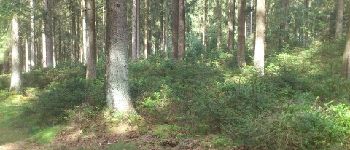
dans les bois, facile


Close
My subscriptions