


plainfaing

JJG54
User
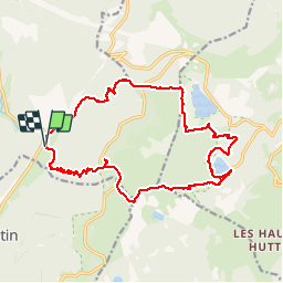

Length
17.5 km

Max alt
1299 m

Uphill gradient
999 m
Km-Effort
31 km

Min alt
702 m

Downhill gradient
1001 m
Boucle
Yes
Creation date :
2019-09-05 07:30:22.376
Updated on :
2019-09-06 16:04:54.467
8h09
Difficulty : Very difficult

FREE GPS app for hiking
 SityTrail
IGN / Geographical institutes
SityTrail Plus
The world is yours!
About
Trail Walking of 17.5 km to be discovered at Grand Est, Vosges, Plainfaing. This trail is proposed by JJG54.
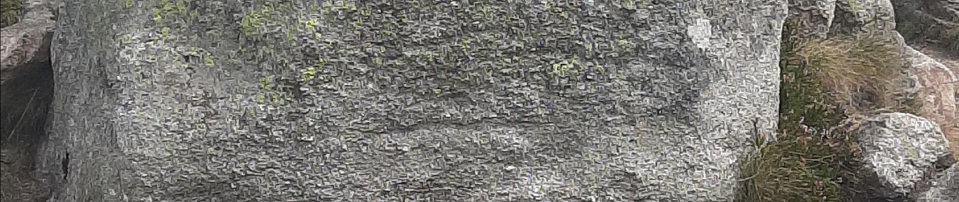
Photos


Positioning
Country:
France
Region :
Grand Est
Department/Province :
Vosges
Municipality :
Plainfaing
Location:
Unknown
Start:(Dec)
Start:(UTM)
354281 ; 5331204 (32U) N.
Comments