


Saint jean le centenier

raygautier
User

Length
74 km

Max alt
771 m

Uphill gradient
4660 m
Km-Effort
136 km

Min alt
72 m

Downhill gradient
4680 m
Boucle
No
Creation date :
2019-09-05 07:17:20.0
Updated on :
2019-09-06 07:51:08.801
7h31
Difficulty : Unknown

FREE GPS app for hiking
 SityTrail
IGN / Geographical institutes
SityTrail Plus
The world is yours!
About
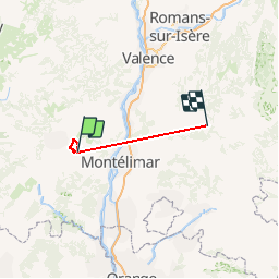
Trail Walking of 74 km to be discovered at Auvergne-Rhône-Alpes, Ardèche, Saint-Jean-le-Centenier. This trail is proposed by raygautier.
Description
Facile 20 kms et 700 m
Positioning
Country:
France
Region :
Auvergne-Rhône-Alpes
Department/Province :
Ardèche
Municipality :
Saint-Jean-le-Centenier
Location:
Unknown
Start:(Dec)
Start:(UTM)
621912 ; 4939208 (31T) N.
Comments