


2019_09_08 étang de joclar

albaultjl
User

Length
11.2 km

Max alt
2333 m

Uphill gradient
728 m
Km-Effort
21 km

Min alt
1696 m

Downhill gradient
729 m
Boucle
Yes
Creation date :
2019-09-08 07:05:49.093
Updated on :
2019-09-08 19:06:54.311
6h32
Difficulty : Easy

FREE GPS app for hiking
 SityTrail
IGN / Geographical institutes
SityTrail Plus
The world is yours!
About
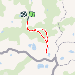
Trail Walking of 11.2 km to be discovered at Occitania, Ariège, Aston. This trail is proposed by albaultjl.
Positioning
Country:
France
Region :
Occitania
Department/Province :
Ariège
Municipality :
Aston
Location:
Unknown
Start:(Dec)
Start:(UTM)
393734 ; 4722718 (31T) N.
Comments