


Butry, Meriel, Parmain

avdem
User

Length
12.1 km

Max alt
93 m

Uphill gradient
149 m
Km-Effort
14 km

Min alt
19 m

Downhill gradient
144 m
Boucle
No
Creation date :
2019-09-12 07:18:59.399
Updated on :
2019-09-12 13:20:03.432
3h11
Difficulty : Very easy

FREE GPS app for hiking
 SityTrail
IGN / Geographical institutes
SityTrail Plus
The world is yours!
About
Trail Walking of 12.1 km to be discovered at Ile-de-France, Val-d'Oise, Parmain. This trail is proposed by avdem.
Description
facile
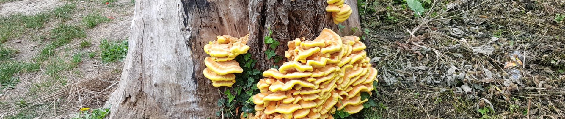
Photos


Positioning
Country:
France
Region :
Ile-de-France
Department/Province :
Val-d'Oise
Municipality :
Parmain
Location:
Unknown
Start:(Dec)
Start:(UTM)
442250 ; 5438356 (31U) N.
Comments