


Combronde, Chauviat, les Reures

Gegetop
User


Length
14.1 km

Max alt
628 m

Uphill gradient
408 m
Km-Effort
19.5 km

Min alt
416 m

Downhill gradient
408 m
Boucle
Yes
Creation date :
2019-09-13 08:46:31.243
Updated on :
2019-09-13 13:39:24.724
3h36
Difficulty : Medium

FREE GPS app for hiking
 SityTrail
IGN / Geographical institutes
SityTrail Plus
The world is yours!
About
Trail Nordic walking of 14.1 km to be discovered at Auvergne-Rhône-Alpes, Puy-de-Dôme, Combronde. This trail is proposed by Gegetop.
Description
Cherchez les Reures... 😋
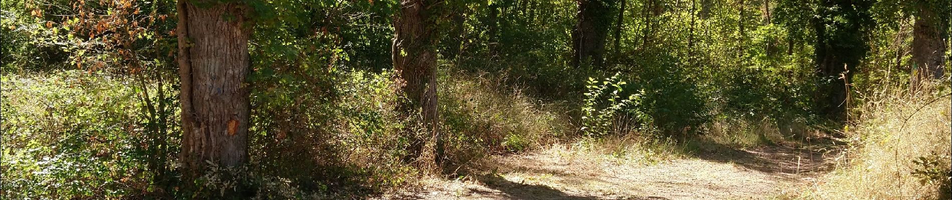
Photos

Positioning
Country:
France
Region :
Auvergne-Rhône-Alpes
Department/Province :
Puy-de-Dôme
Municipality :
Combronde
Location:
Unknown
Start:(Dec)
Start:(UTM)
506193 ; 5092044 (31T) N.
Comments