


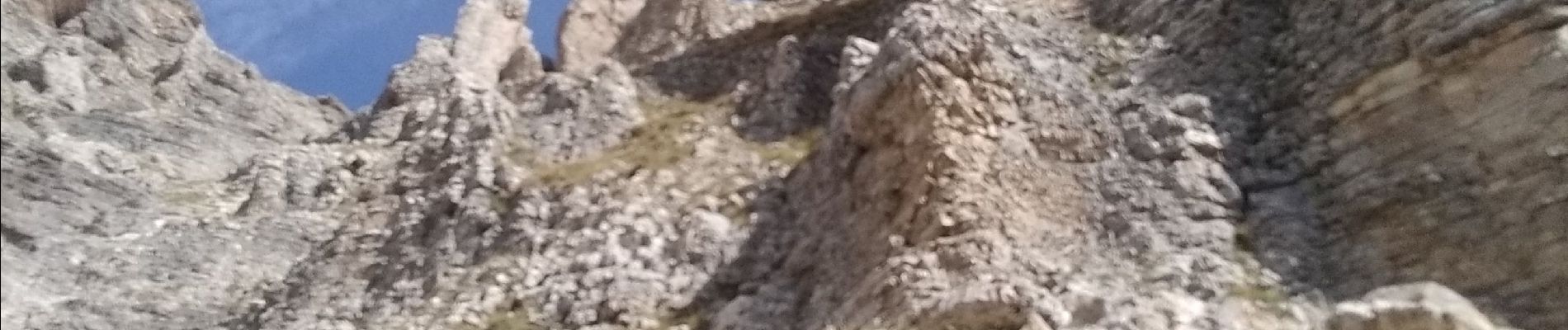
tentative de la tête du Prad Arnaud

nadd73
User GUIDE
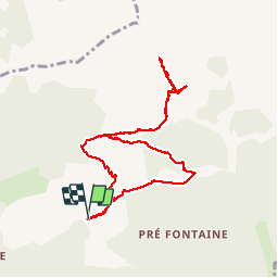


6h32
Difficulty : Very difficult

FREE GPS app for hiking
 SityTrail
IGN / Geographical institutes
SityTrail Plus
The world is yours!
About
Trail Walking of 9.6 km to be discovered at Provence-Alpes-Côte d'Azur, Hautes-Alpes, Montmaur. This trail is proposed by nadd73.
Description
montée au pas de Paul escalier et pas d'escalade, mais comme nous ne savons pas ce qui nous attendait derrière nous avons renoncé.
Très exposée et un pas d'escalade. Pentes très raide à monter
Photos


Positioning
Comments