


Le Ronc Rouge à Bessèges

ajasse
User

Length
46 km

Max alt
448 m

Uphill gradient
1780 m
Km-Effort
70 km

Min alt
107 m

Downhill gradient
1765 m
Boucle
No
Creation date :
2019-09-16 07:55:50.854
Updated on :
2019-09-16 15:26:07.773
3h50
Difficulty : Easy

FREE GPS app for hiking
 SityTrail
IGN / Geographical institutes
SityTrail Plus
The world is yours!
About
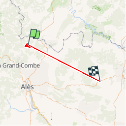
Trail Walking of 46 km to be discovered at Occitania, Gard, Bessèges. This trail is proposed by ajasse.
Description
Belle randonnée , assez facile, dénivelé de 440m.
Positioning
Country:
France
Region :
Occitania
Department/Province :
Gard
Municipality :
Bessèges
Location:
Unknown
Start:(Dec)
Start:(UTM)
587124 ; 4905042 (31T) N.
Comments