


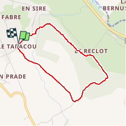

6.6 km | 10.6 km-effort


User


FREE GPS app for hiking
 SityTrail
IGN / Geographical institutes
SityTrail World
The world is yours!
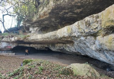
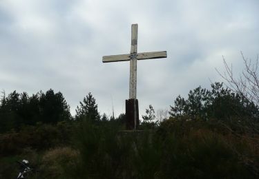
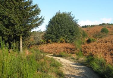
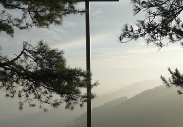
Trail Walking of 3.6 km to be discovered at Occitania, Tarn, Labruguière. This trail is proposed by Véro Saxo.
Walking
Mountain bike

Mountain bike

Walking
Mountain bike
Walking
Mountain bike
Mountain bike
Mountain bike
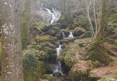
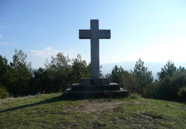
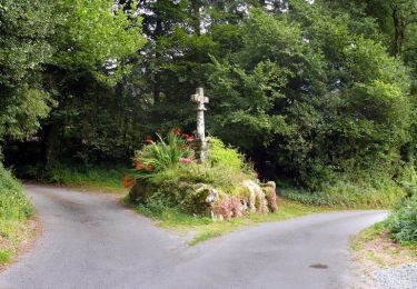
très jolie balade mais un peu courte. Il faudrait donc agrandir la boucle.