


De Bastide d’Agay a St Raphaël Boulouris

henriantoine
User
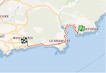

Length
8.4 km

Max alt
30 m

Uphill gradient
92 m
Km-Effort
9.6 km

Min alt
0 m

Downhill gradient
88 m
Boucle
No
Creation date :
2019-09-16 12:58:40.0
Updated on :
2019-09-22 16:13:32.287
3h11
Difficulty : Medium

FREE GPS app for hiking
 SityTrail
IGN / Geographical institutes
SityTrail Plus
The world is yours!
About
Trail Walking of 8.4 km to be discovered at Provence-Alpes-Côte d'Azur, Var, Saint-Raphaël. This trail is proposed by henriantoine.
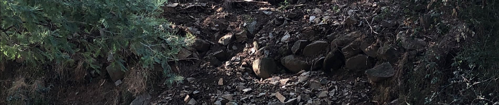
Photos


Positioning
Country:
France
Region :
Provence-Alpes-Côte d'Azur
Department/Province :
Var
Municipality :
Saint-Raphaël
Location:
Unknown
Start:(Dec)
Start:(UTM)
327675 ; 4810376 (32T) N.
Comments